Arriva Bus Navigation App
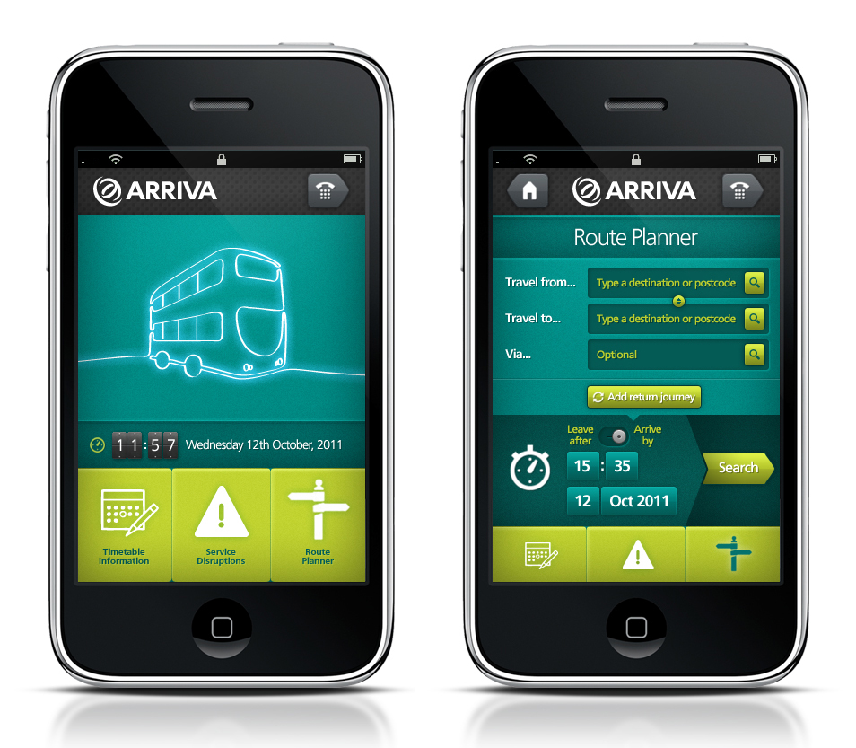
As part of their ongoing digital and mobile strategy, Arriva wnted us to investigate ways in which a native iPhone app could tap into the IOS gps and navigation system to help travellers.
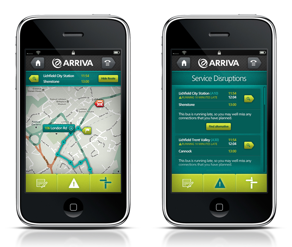
The core principal behind the app is a simple journey mapping system, that then feeds back in the Arriva bus tracking computers and uses the in-built mapping data to show each traveller where their bus us currently, how far their nearest bus-stop is for their prescribed journey and any service disruptions on their route.
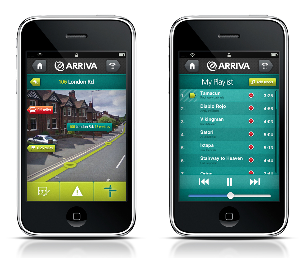
As an additional function set, we also looked at how augmented reality could be overlayed on the camera image to help guide travellers to a selected bus-stop and added a simple playlist function mapped to the length of their journey using tracks present on their phone.
As part of their ongoing digital and mobile strategy, Arriva wnted us to investigate ways in which a native iPhone app could tap into the IOS gps and navigation system to help travellers.
The core principal behind the app is a simple journey mapping system, that then feeds back in the Arriva bus tracking computers and uses the in-built mapping data to show each traveller where their bus us currently, how far their nearest bus-stop is for their prescribed journey and any service disruptions on their route.
As an additional function set, we also looked at how augmented reality could be overlayed on the camera image to help guide travellers to a selected bus-stop and added a simple playlist function mapped to the length of their journey using tracks present on their phone.